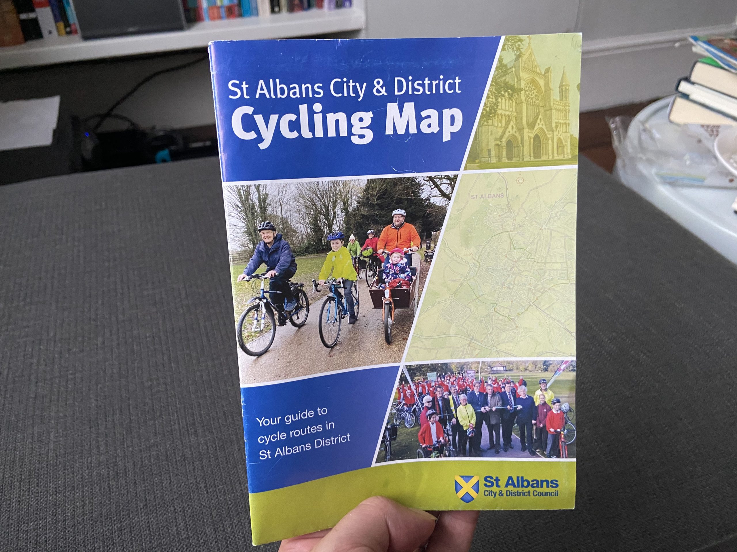
We were looking for a new cycle route to use and my mum found a St Albans Council Cycling map. We looked for any routes we may want to use and found this one.

It’s a loop so you can start anywhere near you on the circle. We started at the Roman Museum at the edge of Verulanium Park as it seemed a logical start and end and is pretty close to us. It’s also actually the place where the picture on the Cycle Map is taken from.

First, you cycle along the pathway through the park. There was a surprising amount of people considering that just an hour before us going it was pouring down with rain.

You head all the way through the park, passing Westminster lodge on your right.

From there you go to the closest crossing in front of you and go across. You then cycle over to Sainsbury’s, maybe getting something as you go pass by it. You continue till you get to the area where they keep the delivery vans. You may notice barbed wire… You’ll be able to see a pathway in front of you which you continue on till you see a train crossing. Make sure you dismount, listen and look before crossing!

You go up to the hill and take the fist right down a hill till you can see a bridge. Go under the bridge and then you have started going down the Alban Way.


Here’s some pictures of me and Euan going through it.
When you get to the first crossing turn left on the pathway across to Morrisons.

You then go left at the corner and move onto the road carefully. Then turn the first right onto Woodstock road. As soon as you can turn right onto Jennings road where you turn right onto Sandpit lane (just in case your wondering, there’s no public sandpits there).

Sandpit Lane 
Jennings Lane
You then go onto Heath road then onto Boundary road where you then cut across Bernards Heath, you may recognise lovely painted rocks lined across the left-hand side. To then travel back across you go across a small forest onto Harpenden road, continue on until you go to the Ancient Briton junction where you turn right. You go across Batchwood drive by going through the path on the side called never-ending lane.


You basically continue on the same path until you go by the round about to go onto Branch road onto St Michaels street to continue back and finish the journey!

If you go back to home or somewhere the way you went to the museum you can notice a ford, which is a a shallow place in the water.

You can see the route below and actually if you click on the map it brings you onto a website ,where you can get all sorts of different information. After you do that you can download the map onto google maps where you can then get directed by it . The photos were taking in the right places so you can know if you’re at the right area.
We’re still looking at different websites or apps to record and share routes and so this time my Dad also recorded the route on another website called Komoot. You might like that site or its app better.
Update 29/07/20
We’ve also now gone back and recorded the route using another app called AllTrails. We cycled the route again today because my brother was going for an hours swimming at Westminster Lodge and we’re not allowed to stay and watch at the moment. The route almost perfectly fits the hour he’s in swimming, giving us something rather than just hanging around waiting.